News
The Dartmouth Cove infill project continues to be a concern for many in the HRM after Transport Canada approved an amended proposal
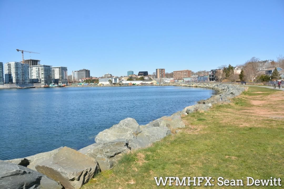
The Dartmouth Cove infill project continues to be a concern for many in the HRM after Transport Canada approved an amended proposal
Although the infill project hasn't been advanced for approval, the go ahead from Transport Canada causes great concern for many.
Posted via Transport Canada in June 2025
File number 2022-206446
"Dartmouth Cove Waterfront Infill Project PID: 00114132
Development Activities
The Project Area will be infilled with approximately 99,700 cubic metres (m3) of material, including approximately 41,900 m3 of sulphide-bearing material (i.e., pyritic slate) from local excavation projects and approximately 57,800 m3 of non-acidic quarry rock. The resultant sloped infill area will be entirely contained within the Project Area (see figure). Sulphide-bearing rock will be placed only below the lowest low tide level (-1.281 m CGVD 2013 vertical datum) and limited to a maximum water depth of 1.0 m below lowest low tide (i.e., -2.281 m CGVD 2013 vertical datum). This material will then be capped with non-sulphide rock, which will be placed from a depth of 1.0 m below lowest low tide to a geodetic elevation of 2.1 m (Figure 2). All material to be used for fill will be free of polluting substances. Fill will be placed by end-dumping from tandem trucks. An excavator will be used to push the infill material into the water lot, working seaward from the existing shoreline. A silt curtain will be installed around the Project Area prior to the commencement of in-water Project activities. Infilling activities will be visually monitored, and additional mitigation will be implemented as necessary in the event that a visible sediment plume migrates beyond the silt curtain. No dredging is expected to be conducted prior to infilling. To access the Project Area, a temporary gravel access road is proposed on the western side of the property to Maitland Street. The intention is for the infilled Project Area to provide enhanced waterfront access and land that will eventually enable future development. Although the design of the future development structure is contingent upon infill approval, it is anticipated that it will have a minimum geodetic elevation of 3.17 m (CGVD 2013 vertical datum). The proposed project involves the responsible placement of sulphide-bearing material within the designated water lot boundaries, capped with clean rock. This material is derived from residential and healthcare building projects in the Halifax Regional Municipality (HRM). To enhance the area's ecological integrity, the project includes the creation of an intertidal Rockweed Beach along the waterfront, aiming to restore the shoreline to a high-productivity marine environment. Additionally, Reef Balls (artificial reefs) will be strategically positioned along the project site's slopes, fostering marine vegetation growth and serving as a habitat for various aquatic species, including fish. Recent findings from a 2021 Marine Sediment Sampling Program revealed elevated concentrations of PAHs, metals, and TPH within the project area, surpassing established guidelines. The project's response involves capping these contaminated sediments, providing a solid foundation for vegetation to thrive. During construction, fill will be carefully placed within a silt boom and silt curtain to prevent any resuspension of marine sediments. Continuous water quality monitoring inside and outside the silt boom will be conducted. In the event of any failed samples outside the silt boom, prompt reporting to relevant authorities will occur, and construction will be temporarily halted until the issue is resolved. This comprehensive approach ensures the project aligns with environmental standards and safeguards the well-being of the surrounding ecosystem."
Amended info
"Infill APPROVAL AMENDMENT 4197847 Nova Scotia Limited PO Box 89 Eastern Passage, Nova Scotia B3G 1M7 Located in Dartmouth Cove, Halifax Harbour, at approximately 44° 39' 51.01" N, 63° 33' 29.01" W, Halifax Regional Municipality, in the Province of Nova Scotia.
Environmental or fish habitat compensation installation As per the application (detailed above) to the Minister of Transport, submitted pursuant to the Canadian Navigable Waters Act (CNWA), for an amended approval of the work per the attached plans, the Minister hereby issues an amendment to the approval of work pursuant to paragraph 9(3)(d) of the CNWA subject to the following terms and conditions:
1. Three cautionary Ottawa River Type buoys (or equivalent) must be placed and spaced along the leading edge of the fill area (each of the two corners with one in the middle of the curve between the two corners) and be moved as necessary to remain as close as practicable to it. a. The two corner buoys must carry a 2 nm nominal yellow light, and an internal radar reflector. b. All buoys must meet the requirements of the Private Buoy Regulations. c. These buoys must be removed once fill placement is complete.
2. A consistent navigational draft depth in the Build Nova Scotia Water Lot north of the North Finger Pier must be maintained during the period of construction of the infill project and for a period of 3 months after completion of the work. Any negative change in the navigational draft depth of the Survey Area, relative to established baseline depths, shall be promptly restored back to baseline and no further infill may occur until restoration of the navigational draft depth has been completed.
3. Advise the Canadian Coast Guard, Marine Communications and Traffic Services (MCTS) Sydney at (902) 564-7751 or email: NAVWARN.MCTSSydney@innav.gc.ca sufficiently in advance of commencing placement of the fill and when putting in the buoy markings in order to allow for appropriate Navigation Warning (Notice to Shipping) action.
4. As built plans or a document signed and stamped by the project engineer attesting to the work being completed as per the CNWA approved plan must be sent upon completion of the project to the Hydrographic Data Centre, Canadian Hydrographic Service at dfo.chsatldatacentre-centrededonneeschsatl.mpo@dfo-mpo.gc.ca, and to Transport Canada’s Navigation Protection Program (NPP) at nppatl-ppnatl@tc.gc.ca . "