**** Via NOAA Hurricane Centre
Update - TROPICAL STORM DOLLY FORMS OVER THE CENTRAL TROPICAL ATLANTIC
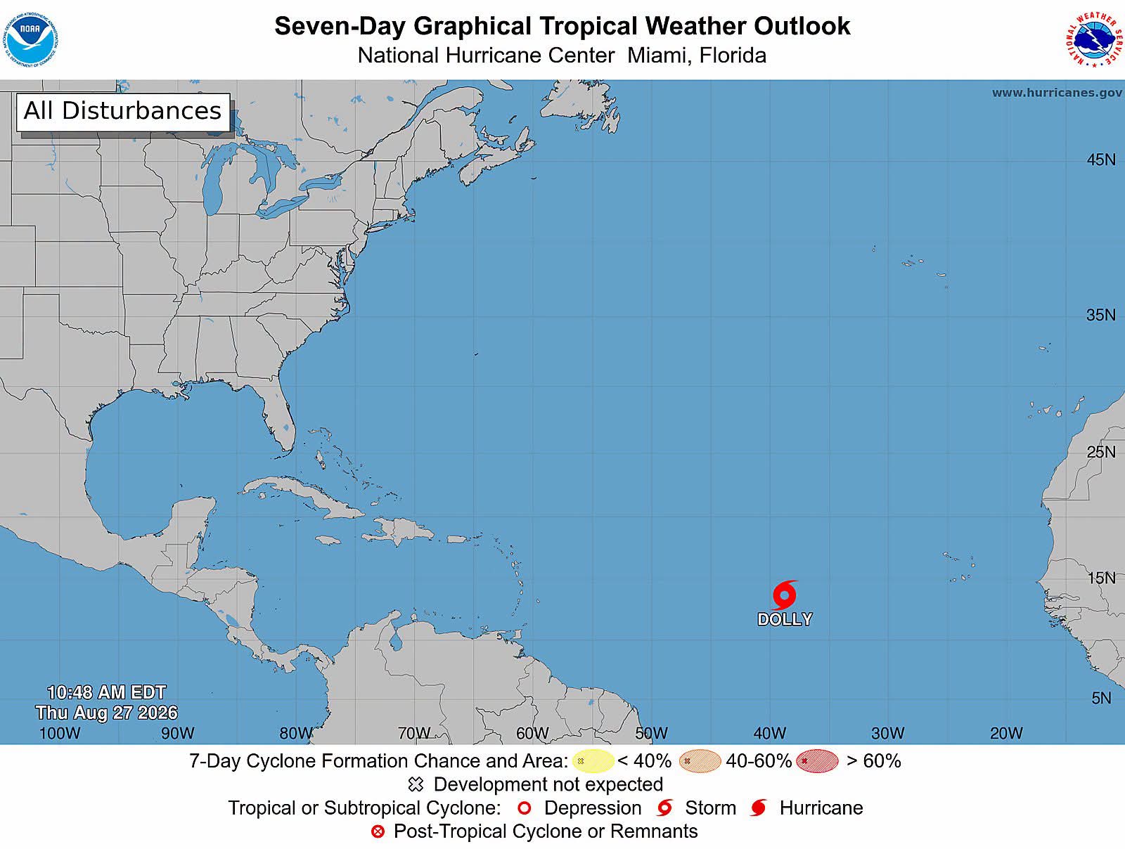
INTERESTS IN THE LEEWARD ISLANDS SHOULD MONITO
At 1100 AM AST (1500 UTC), the center of Tropical Storm Dolly was about 1555 miles east of the Leeward Islands. Dolly is moving toward the west near 24 mph (39 km/h) and this motion is expected to continue for the next couple of days. On the forecast track, this system should be nearing the Leeward Islands this weekend.
Satellite wind data indicate that the maximum sustained winds are near 40 mph (65 km/h) with higher gusts. Little change in strength is forecast during the next 48 hours, and Dolly is forecast to degenerate into a tropical wave before it reaches the Leeward Islands.
HAZARDS AFFECTING LAND
RAINFALL: Heavy rain from this system could begin to affect the Leeward Islands late Saturday into Sunday, the Virgin Islands, Puerto Rico and Hispaniola Sunday and Monday. This heavy rain may produce flash flooding, especially in areas of higher terrain.
-
Tropical Weather Outlook
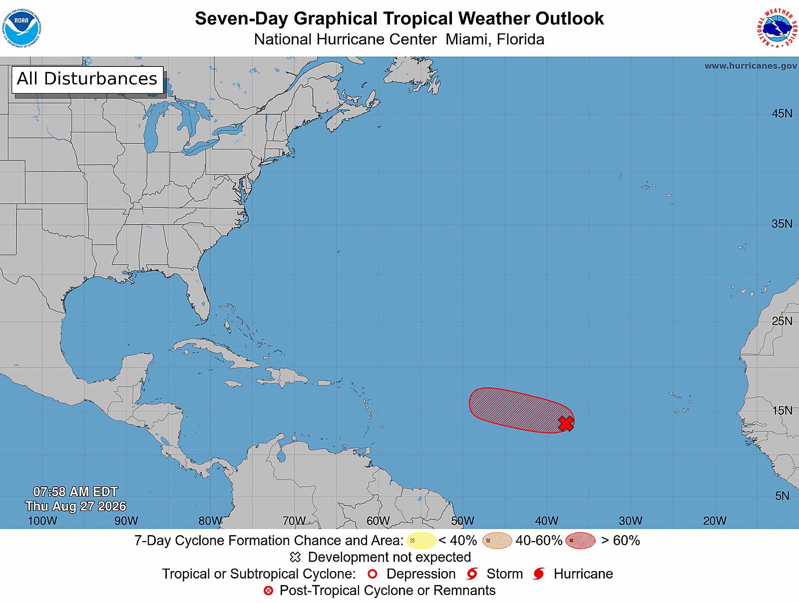
Central Tropical Atlantic
Satellite and microwave imagery indicate that an area of low pressure, located about midway between Africa and the Windward Islands, has become better organized overnight.
If the current trends continue, advisories could be initiated on a short-lived tropical storm later today. However, environmental conditions are expected to become hostile beginning on Friday, likely ending its chances for further development. It has a high (90 percent) chance of formation in 48 hours and in the next 7 days.