**** Via Environment Canada
Update - Wind and Rainfall warnings (yellow) remain in effect
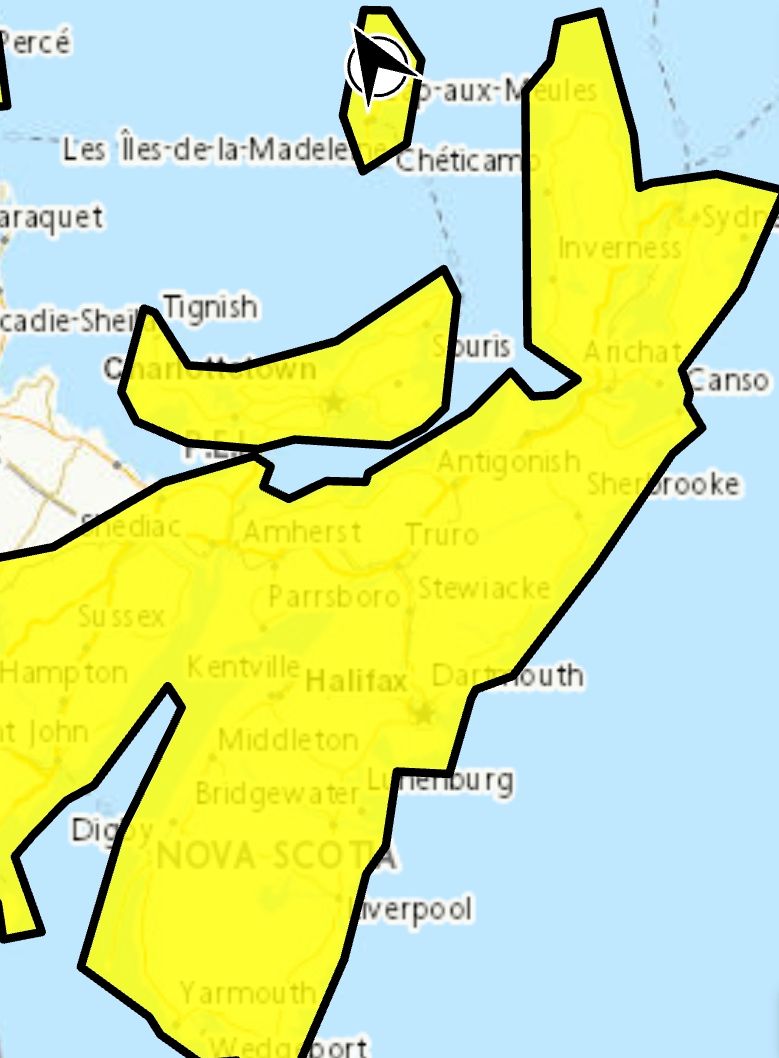 Wind warning (yellow)
Unseasonably warm temperatures and strong winds are expected.
Locations: Nova Scotia.
Wind gusts: southerly 90, except 110 km/h along exposed areas of the Atlantic coast.
Time span: late this afternoon until early Saturday morning.
Remarks: Strong southerly winds will switch to the west Saturday morning and pick up in intensity during the day.
Strong winds may cause tree branches to break and damage utility lines.
Check transit, ferry, or flight statuses well in advance, as delays or disruptions could occur.
Secure loose outdoor items that could be blown around by strong winds.
Local utility outages are possible. High-sided vehicles will be pushed around by the wind.
Wind warnings are issued when there is a significant risk of damaging winds.
-
 Rainfall warning (yellow) in effect
Significant rainfall is expected.
Locations: parts of central and northern Nova Scotia.
Total rainfall: 25 to 40 mm.
Time span: this evening until early Saturday morning.
Remarks: Rain and mild temperatures will lead to melting snow and minor runoff.
Visibility will likely be suddenly reduced at times.
Rainfall warnings are issued when significant impacts are expected due to rainfall amounts.
Please continue to monitor alerts and forecasts issued by Environment Canada. To report severe weather, send an email to
NSstorm@ec.gc.ca or post reports on X using #NSStorm.
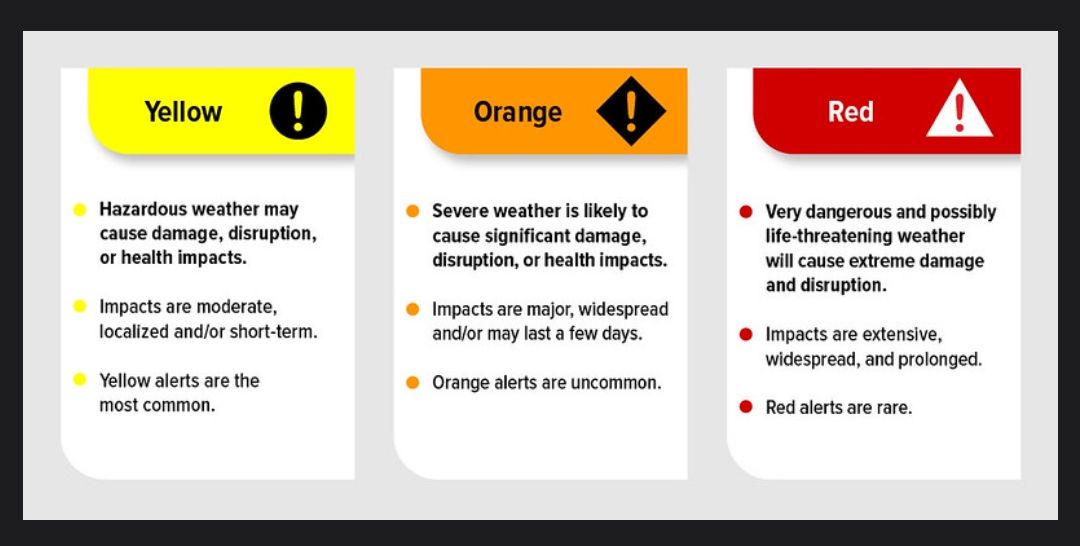
For more information about the alerting program, please visit: Colour-coded Weather Alerts.
-
Source
https://weather.gc.ca/index_e.html?alertTableFilterProv=NS¢er=45.57476525,-63.31476527&zoom=6